TRANCITY Nebula introduces 3D spatial change detection and new digital twin analytics tools
CalTa announces new spatial analytics capabilities for TRANCITY Nebula, including voxel-based change detection, 3D visualization, digital twins and environmental data overlays.
Key takeaways
- CalTa announced a major TRANCITY Nebula update on October 9, 2026, rolling out from mid-October to late November 2026.
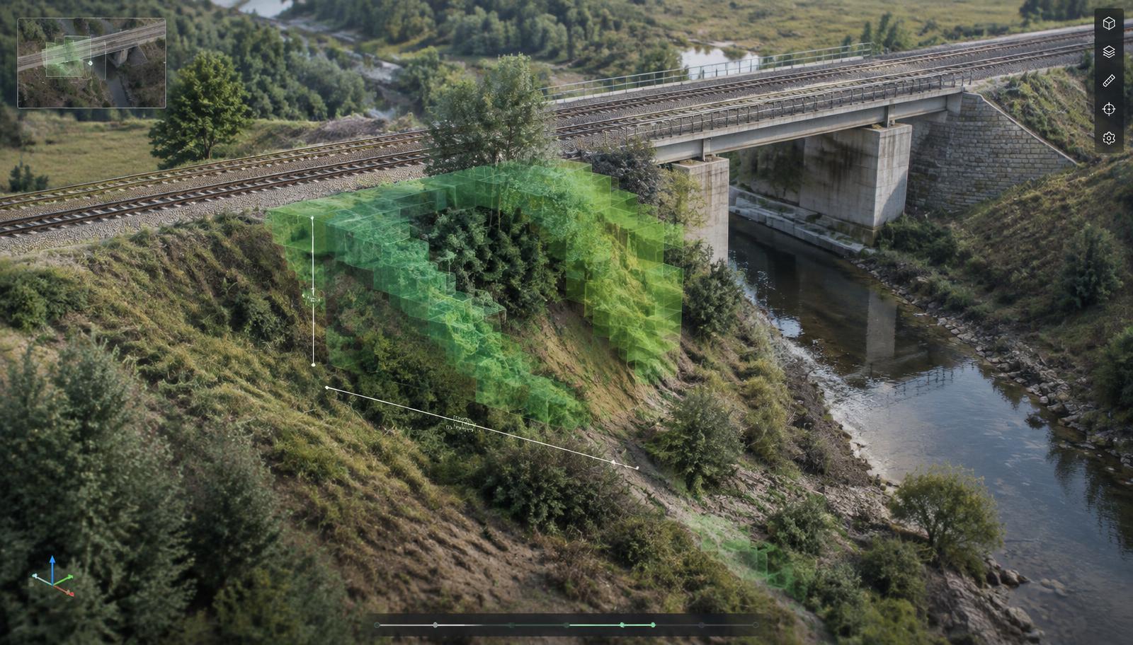
- A new voxel-based system compares 3D captures over time to highlight vegetation growth, deformation, erosion or landslides.
- Rainfall radar, typhoon forecasts and earthquake intensity can be overlaid on digital twins to support inspection planning — not damage prediction.
- More than 100 editable 3D assets, interference checking and URL-shareable scenes turn reconstructions into planning workspaces.
- CalTa is demonstrating the platform at CEATEC 2026 (October 13–16, Makuhari Messe).
Spatial computing is becoming more than visualization
Three-dimensional representations of physical environments are becoming increasingly accessible. Reality capture technologies can reconstruct buildings, infrastructure and outdoor environments using photographs, video, LiDAR and other spatial data sources. However, generating a realistic 3D representation is only one part of the process.
Organizations also need to understand what is happening inside those environments. What has changed? Where has a structure moved? Which areas require attention? How can spatial information be shared with people who are not physically present?
On October 9, 2026, Japanese technology company CalTa announced a major update to TRANCITY Nebula, its digital twin platform for infrastructure and construction. The update introduces new capabilities for spatial change detection, environmental data visualization, 3D scene management and operational planning. The company plans to release the features progressively between mid-October and late November 2026, alongside its participation in CEATEC 2026.
From reality capture to spatial analysis
TRANCITY Nebula was introduced in 2025 as a platform for creating and managing digital representations of physical environments. The system uses 3D Gaussian Splatting, a rendering technique that reconstructs detailed three-dimensional scenes from captured visual information rather than relying entirely on manually constructed 3D models.
The technology is particularly useful for visualizing existing industrial facilities, construction sites and railway infrastructure. TRANCITY Nebula also incorporates AI-based spatial recognition and natural-language interaction, allowing users to search for information and inspect elements within reconstructed environments. The new update extends the platform beyond visualization.
Voxel-based change detection
One of the most significant additions is a temporal change-detection system that compares three-dimensional data captured at different moments. Instead of requiring users to manually inspect two complex reconstructions, TRANCITY Nebula converts spatial information into voxels — the three-dimensional equivalent of a pixel — and identifies differences between earlier and more recent captures.
CalTa says this approach reduces the processing required to compare large environments and enables differences to be visualized rapidly. The company highlights several applications:
- Identifying vegetation growth near railway lines.
- Examining changes around infrastructure assets.
- Investigating potential structural deformation.
- Comparing areas affected by erosion or landslides over time.
CalTa describes the process as effectively instantaneous, although the announcement does not provide an independently verified processing benchmark. The important development is the integration of temporal comparison directly into the spatial visualization workflow.
Visualizing environmental information inside digital twins
TRANCITY Nebula will support overlays including rainfall radar, typhoon forecasts and earthquake intensity information, visualized alongside geographic and infrastructure data. Maintenance teams can see which facilities could be exposed to severe weather, and after an earthquake, intensity data can help prioritize inspections.
The platform should not be interpreted as automatically predicting physical damage. Environmental overlays provide additional information for analysis and decision-making; they do not replace engineering assessments or established risk models.
More than 100 interactive 3D assets
The update introduces a library of more than 100 three-dimensional models, including construction machinery, vehicles, traffic cones, barricades and temporary infrastructure elements. Users can place, move and edit these objects directly within their digital environments, without preparing external CAD assets.
A construction team could position machinery inside a reconstructed site to evaluate available space, place temporary barriers to visualize a work area, or examine equipment positioning before physical deployment. Interference checking shows whether proposed arrangements conflict with existing structures. CalTa plans to expand the library over time.
Sharing a complete spatial scene through a URL
Two people may be looking at the same 3D environment while examining different locations, camera positions or information layers. TRANCITY Nebula's new scene management lets users save and share a complete viewing state — camera orientation, selected tabs, measurements and annotations — through a URL.
Instead of describing where a problem is located, one person can share the precise scene configuration required to examine it. Multiple saved scenes can be organized into sequences for presentations and reviews, bringing spatial collaboration closer to sharing a document or dashboard view.
New tools for spatial data and capture workflows
- Import CSV data with spatial coordinates to generate 3D voxel graphs.
- Visualize camera orientation and capture routes for recorded footage.
- Use positional data from supported devices — iPhone via the Oortcam app, GoPro cameras and Skydio X10 — to place reconstructions on a 3D map, reducing the need for physical AR markers.
- Measurements on orthographic views, downloads of position-corrected data, more flexible interference detection and masking of selected scene regions.
Together, these additions cover the spatial data lifecycle: information is captured, the environment is reconstructed, data is positioned geographically, changes are analyzed, and results are shared and used for planning.
Why 3D Gaussian Splatting matters
Gaussian Splatting has attracted interest because it reconstructs visually detailed environments without manually modeling every surface. However, realistic rendering alone does not make a digital twin operationally useful: users may see a pipe, a building or a road without access to the underlying engineering information.
"Gaussian Splatting supports realistic visualization. Voxel processing supports volumetric comparison. Geospatial data connects information to physical locations."
These technologies serve different purposes but can operate within the same workflow, turning the environment into something that can be measured, compared and examined over time.
CEATEC 2026 brings the technology into a live demonstration
CalTa is presenting TRANCITY Nebula and TRANCITY ARCADE at CEATEC 2026, October 13–16 at Makuhari Messe in Japan, within the Tokyo Metropolitan Government startup pavilion. Visitors can explore high-resolution 3DGS spatial data and infrastructure management applications. The complete update reaches customer environments progressively through late November.
Spatial computing is evolving toward operational intelligence
TRANCITY Nebula illustrates an important direction in enterprise spatial computing: moving beyond realistic digital environments toward tools that interpret them and connect them to operational processes. Where has something changed? How much? Which assets are affected? What if equipment were positioned differently?
These questions require measurement, comparison, contextual data and collaboration. Practical performance will become clearer as the features reach customers, but the announcement is a concrete example of 3D reconstruction, spatial analytics and digital twin software converging into operational tools for physical environments.
Sources
- CalTa — Official announcement, October 9, 2026: TRANCITY Nebula major update (change detection, environmental overlays, 3D models, scene management, deployment schedule).
- CalTa — Official website: company background on TRANCITY digital twin technology.
- PR TIMES — October 9, 2026: original Japanese-language release with interface screenshots.
- CEATEC 2026 — Official event website: venue and exhibitor information.
Editorial coverage of industry news and developments across spatial computing and immersive technologies. Every story is reviewed by a second editor, and hardware claims are checked against manufacturer documentation before publication.
Related reading
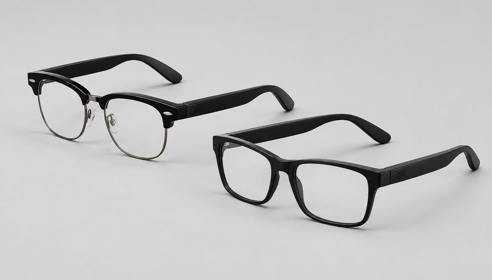
Meta is introducing a different kind of smart glasses
Ray-Ban Meta Audio begins shipping at $349: camera-free, display-free smart glasses built around open-ear audio, voice interaction and Meta's AI assistant.
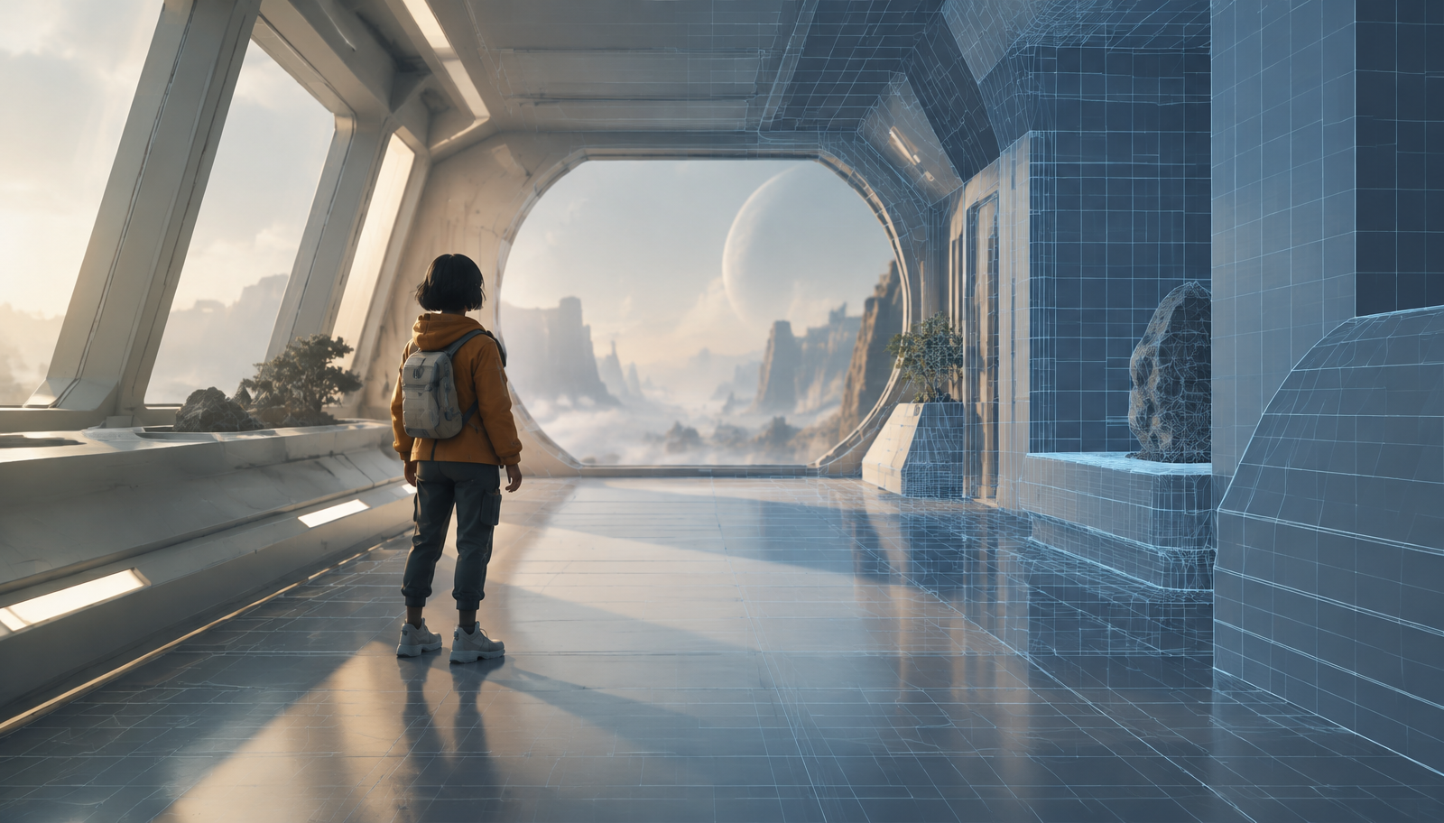
Google and Unity introduce Unity Spark, bringing AI-powered creation closer to interactive 3D development
Google and Unity announce Playground and Unity Spark, combining generative AI, natural language creation and Unity's real-time 3D engine to simplify interactive development.
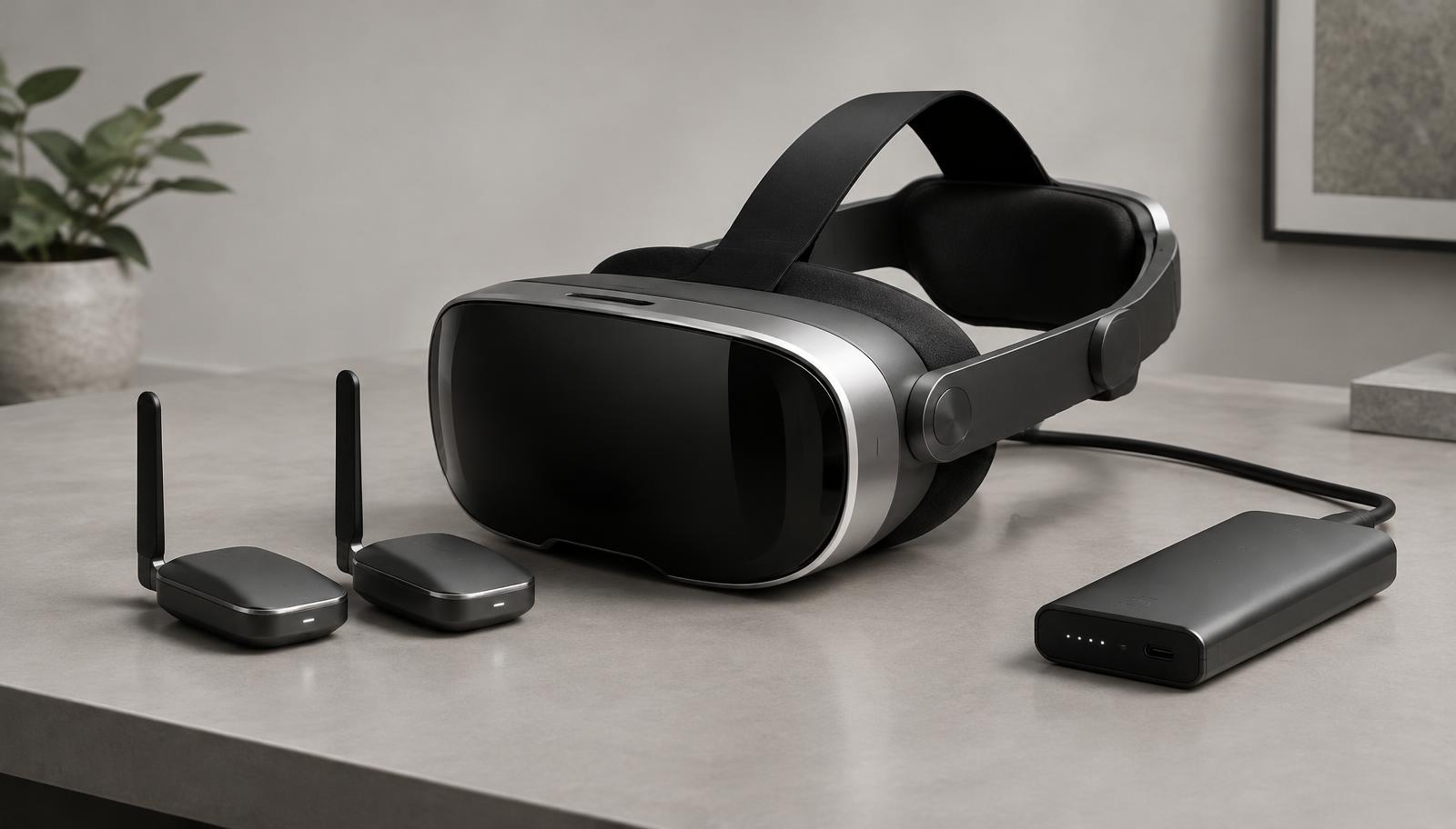
Pimax Crystal Pro introduces eye-tracked wireless streaming without video compression in the focus area
Pimax unveils Crystal Pro, a wireless VR headset featuring eye-tracked 60GHz streaming, 2880 × 2880 displays per eye and an optional 6Gbps AirLink system.